Mercury plunges to -12.5C in Lake Tekapo on NZ's coldest night
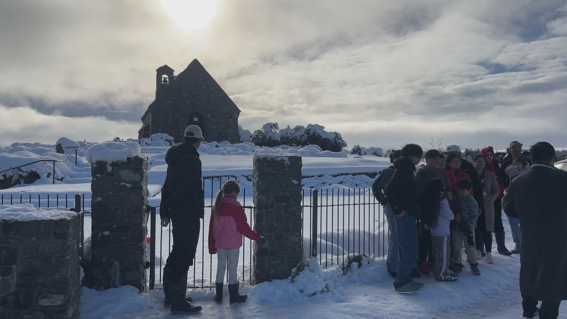
Many parts of New Zealand recorded their coldest night of the year so far in the early hours of this morning, with the lowest air temperature nationally recorded at Lake Tekapo, dropping to -12.5C.
MetService meteorologist Michael Pawley said spots recording their coldest night of the year included Auckland Airport (2.5C), Christchurch Airport (-3.8C), Taupo Airport (-4.2C) and Mount Cook Airport (-11.5C).
In the North Island, temperatures fell as low as -6.2C around the central plateau, Pawley said.
Sub-zero air temperatures were recorded as far north as Auckland, and Pawley said inland parts of Northland likely also had a frosty start.
Ground temperatures can run up to 4C colder than air temperature overnight, and one weather station recorded 1C inland from Northland.
Relief is on the way, with northwesterlies expected to drag warmer air across the country early this week as a front moves in from the Tasman Sea.
Pawley said Christchurch was forecast to reach a maximum of 17C on Tuesday, before dropping to an overnight low of 8C early Wednesday.
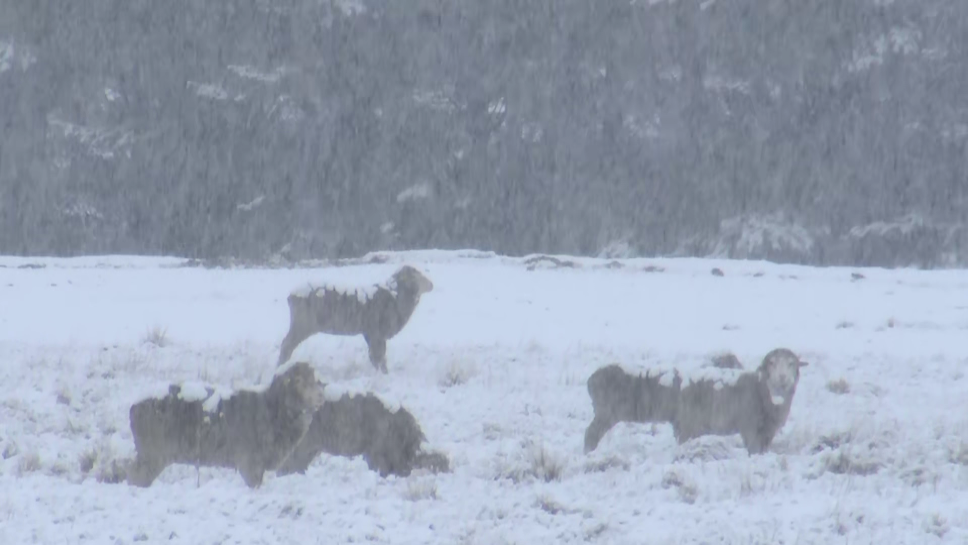
The same front will bring rain to western areas, particularly the South Island, on Monday and Tuesday, with thunderstorms and strong wind gusts possible.
Pawley said there was a low risk of severe gales reaching warning criteria for Fiordland, inland Otago and the Canterbury high country on Tuesday, as the northwesterlies pick up. The risk of warning-level severe weather eases from Wednesday to Friday.
Western areas are expected to stay unsettled for the rest of the week.
"My pick of the week would be Christchurch, as it's looking a bit drier in the east, with more fine breaks," Pawley said. He added Hawke's Bay was also a reasonable bet.
Northland, Auckland, Coromandel and the Bay of Plenty will see some fine spells, though Pawley described it as more of a mixed bag, with cloud and showers also moving through.
On snow, Pawley said this first front was fast-moving, so accumulations may not make a huge difference for ski fields, though a dusting was possible on more elevated runs.
He said there was still uncertainty between weather models for later in the week, and MetService would be watching whether further rain and showers brought more snow.