Whenua interactive: The history of how New Zealand land moved out of Māori ownership – use our map to search your area
Welcome to Whenua: Our Land, Our History, an interactive map of New Zealand showing how Māori land passed into Pākehā ownership and the stories surrounding it.
Tahuri mai ki a Whenua: he kohinga kōrero e pa ana ki tō tātou motu me tō tātou hītori, he mapi taunekeneke hoki e whakaatu ana i ngā āhuatanga mō te rironga o ngā whenua Māori ki a tauiwi. He kaupapa raraunga a Whenua nā Te Hērora, e tautokotia ai e Irirangi Te Motu me Adrienne Paul (Ngāti Awa, Ngāi Tūhoe), he pukenga ture whenua Māori nō te kura rōia o te Whare Wānanga o Waitaha.
Whenua: Our Land, Our History confronts questions some of us prefer not to ask because they raise uncomfortable issues about Aotearoa’s colonial legacy. And the conversation has become even more charged, in response to the Treaty Principles Bill and moves to rename departments in English.
The answers are essential to understanding our history. It’s summed up in the Māori proverb “ka mua, ka muri: walking backwards into the future”. To face what’s ahead as a country, we must first know our past.
That’s why the New Zealand Herald has launched Whenua. We hope this project will provide useful context for our current political debates, fill in some awkward knowledge gaps for many New Zealanders and spark a few much-needed conversations. As the 2022 launch of a compulsory New Zealand history school curriculum showed, many of us don’t know our own country’s past. Whenua (meaning “the land, the place where we belong”) aims to help redress that balance.
The centrepiece is this interactive map, compiled by Herald head of data journalism Chris Knox, which shows the pattern of land changing hands across the country. You can click to see the historic claims to each area. Treaty of Waitangi settlements record the official land loss for many iwi and the interactive shows which law changes and government decisions impacted your region.
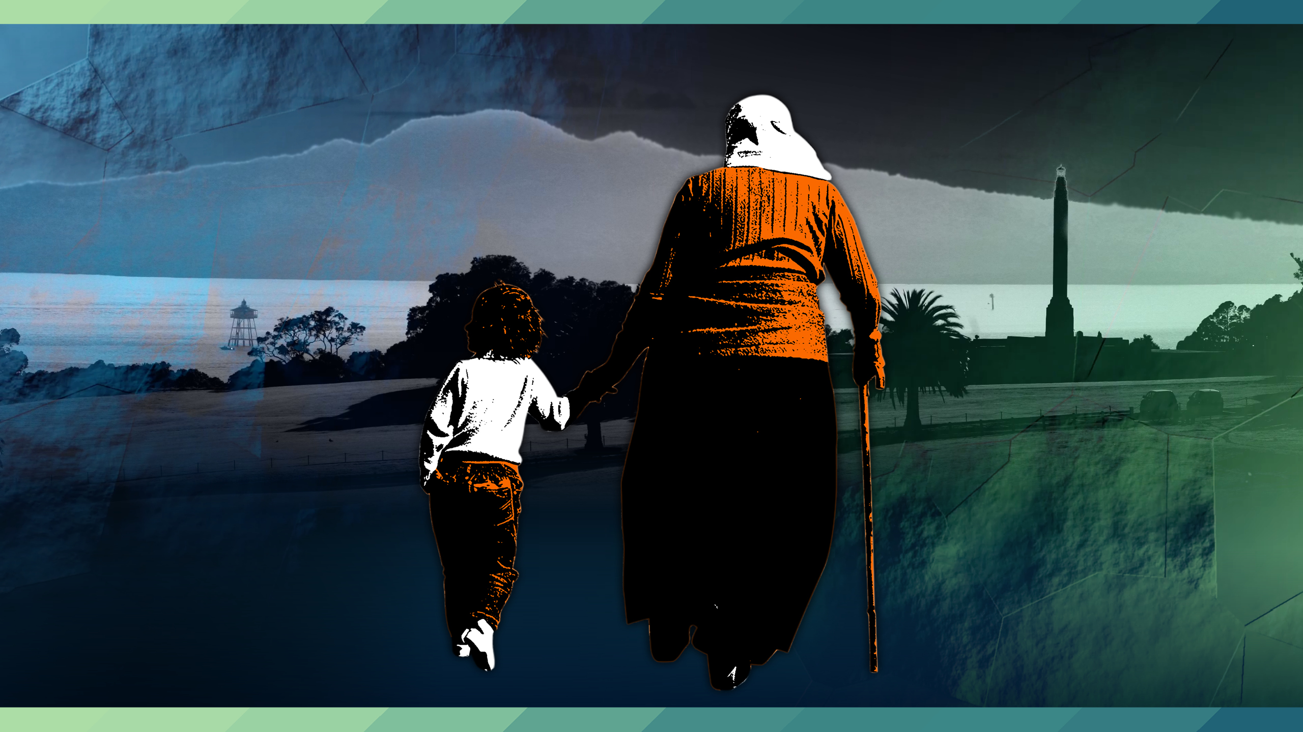
STORY CONTINUES AFTER THE INTERACTIVE
Almost all Treaty settlements include an historical account agreed to by both the Crown and the Iwi in question. The New Zealand Herald has begun the task of converting these histories into an interactive map that you can explore.
We began with the two biggest settlements, Waikato-Tainui and Ngāi Tahu, and the settlement with Ngāti Whātua o Ōrākei – the iwi that historically controlled the land where the Herald’s main office sits. Additional land transfers in Hawke’s Bay, Wellington, Taranaki and the Upper South Island have been included, and there are many more to come.
To mark the project, Tainui, Ngāi Tahu and Ngāti Whātua o Ōrākei have shared their stories with Herald data journalist Julia Gabel (Ngāti Kahu, Pākehā). Taranaki and Ngāti Toa have since been added. The tribal histories, which are also illustrated on the interactive map, feature:
Herald journalists also tell stories of our land:
Whenua was overseen by Herald planning editor Andrew Laxon and Paul Slater spearheaded art and design.
Watch the videos filmed by the Herald’s Mike Scott:
Data sources
Whenua is a New Zealand Herald data-led project, supported by the Public Interest Journalism Fund, in association with Māori land legal expert Dr Adrienne Paul (Ngāti Awa, Ngāi Tuhoe). Dr Paul, who worked on the project in her role at the University of Canterbury law school, now lectures at the Auckland University of Technology.